


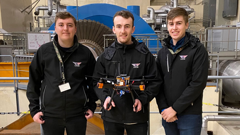
Three researchers from the Loughborough University Centre for Autonomous Systems (LUCAS), consisting of PhD students Callum Rhodes and Tim Glover and research assistant Ewan Pugh, took part in the European Robotics Hackathon (EnRicH) event between 4-8 October. Held at Zwentendorf nuclear powerplant Austria, LUCAS were the only UK-based team to take part, along with teams from leading technology institutions from around the world. With their quadrotor UAV, they performed autonomous mapping of the powerplant, seeking out sources of radiation that were distributed throughout the plant.
Robots can perform tasks that are deemed too risky for humans and are particularly advantageous in the context of old nuclear facilities, which require measurements to be performed and samples to be taken. For these radiological and nuclear (RN) scenarios, specialised robot systems must be developed. EnRicH brought together roboticists and RN specialists to give a better insight into the possible robotic applications for radiological and nuclear tasks with a competitive element, in which a panel of judges helped to select the winning teams.
The task set for the UAVs was to produce a photo-realistic 3D map of the environment and localise two sources of radiation that were distributed in the 40m shaft and reactor hall of the powerplant. However, flying UAVs indoors brings a multitude of challenges: the metre-thick concrete walls of the powerplant blocks GPS signals and makes getting WiFi and radio transmission to the platform very difficult. This means all navigation and data processing needs to be run onboard the UAV.
With only a month’s preparation, the team were able to convert a LUCAS UAV platform to meet the criteria of the radiological challenge. The team’s quadrotor UAV was able to perform state-of-the-art visual-inertial simultaneous localisation and mapping (SLAM) using a stereo inertial camera. The radiation could also be measured using a lightweight spectrometer, allowing both the level of radiation and the source composition to be identified, as measurements are constructed into a map using a Gaussian Markov Random field algorithm, which was then used to predict the source location.
The event culminated in an award ceremony to acknowledge the achievements made by all the teams involved. Team LUCAS earned first place for 3D mapping and second place for overall UAV performance.