Research
Map-matching Algorithms
Over the last ten years, TSG has been conducting basic research in the area of sensor fusion (GPS, GIS, vehicle-based sensors), algorithms development and their implementation.
Accident and emergency responses, vehicle safety applications such as collision detection and other location based services (LBS) require real-time spatio-temporal positioning and timing data to perform various functions in all operational environments with a high degree of accuracy, integrity, continuity and availability.
Due to the numerous error sources associated with GPS and its signal characteristics, the Required Navigation Performance (RNP) for many applications cannot be achieved in areas with urban canyons, streets with dense tree cover, and tunnels.
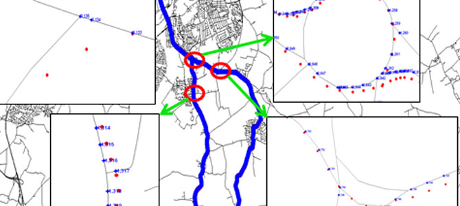
The problem
A number of map matching algorithms have been developed by researchers around the world using different techniques. The performance of these algorithms has improved over the years due to the application of some advanced techniques in the map matching processes and to the improvements of the quality of both positioning data and spatial road network data over time. However, these algorithms are not always capable of supporting the navigation functions that require a high positioning accuracy, specifically within dense urban areas.
What we have done to help
We have developed a knowledge-based intelligent map matching (iMM) technique that can intelligently select the best map matching algorithm (from a library of map matching algorithms) suitable for a particular operational environment.