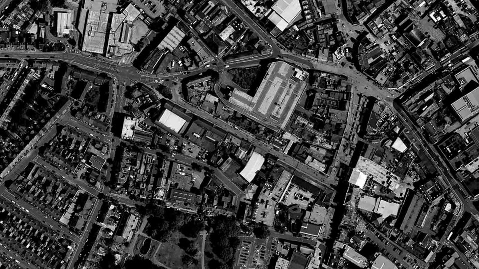
Loughborough TOWN Observatory
An initiative led by Loughborough University
Asya Natapov, Harland Robert, Taimaz Larimian, Fernandes Barata Aline, Mihyun Kim M, Cristina A. G. Kiminami, Mohammad Forghanielahababdi, Mohamed Shamroukh, Pegah Aftabi
The TOWN Observatory is stemmed from the formation of The Impact Hub, a three-year project (2023-2026) intended to establish an observatory for Loughborough that would monitor changes to support the town’s future resilience. The project, in partnership with Charnwood Borough Council and several external consultants, is part of Healthy and Innovative Loughborough, a £2.46 million initiative led by Loughborough University funded by the Loughborough Town Deal (2023–2026), aimed at creating jobs, supporting new businesses, and making local people healthier. Through the visual presentation of quantitative and qualitative data, the aim of the TOWN Observatory is to promote urban information, support decision making, and facilitate dialogue between stakeholders in the town and its immediate hinterland. The TOWN Observatory is focused on the town scale – a level generally overlooked by the many urban observatories globally. A concentration at this level invites collaboration with other similar settlements based on the wider geographic coverage than urban observatories typically depict due to the density and smaller footprint of cities.
Publications and presentations
- Learning from the participatory practices of urban observatories to co-create a new town observatory in Loughborough, UK
- Reliability and Scalability of Pedestrian Monitoring Practices: A Systematic Review
- Spatio-Temporal analysis of pedestrian activity in Loughborough using WiFi data
- From Data to Decisions: Understanding Pedestrian Flow with WiFi Scanner Data
- Data-driven prioritising of pedestrian-oriented infrastructure: A framework for resources allocation
- Mapping Loughborough's Pedestrian Activity Using WiFi data
- Assessing Pedestrian Visual Perception Using Open-Vocabulary Object Detection in Urban Street Scenes
- Refining Urban Accessibility Measurement through Street View Imagery: A Pedestrian-Centric Approach
- Measuring Spatial-Visual Accessibility in the 15-Minute City: Integrating Geographical and Visual Information
- Measuring pedestrian accessibility and urban perception: a visually perceived approach to pedestrian space analysis within the 15-minute city framework
- Measuring Spatial-Visual Accessibility in the 15-Minute City: Integrating Geographical and Visual Information