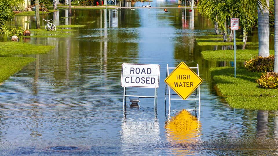
Flooding is among the world’s most damaging natural hazard. It is associated with approximately USD 388 billion in average annual losses globally, while an estimated 1.81 billion people - nearly a quarter of the world’s population - are exposed to a 1-in-100-year flood. In England alone, for instance, around 6.3 million homes and businesses are in areas at risk of flooding.
Reliable flood maps support decisions from infrastructure design and emergency planning, to insurance and climate adaptation. Producing them requires models to estimate how much water a river channel can contain before it spills onto its floodplain.
This threshold is known as bankfull discharge (or channel capacity). If a model overestimates it, too much water may remain within the simulated channel, causing flood extent and depth to be understated.
Estimating bankfull discharge normally requires both a surveyed river cross-section and a long record of water levels and flows from the same location. Such information exists for only a small proportion of the world’s rivers and is concentrated in well-monitored regions, particularly Europe and North America.
Faced with this gap, many global flood models assume that bankfull discharge corresponds approximately to a flow that occurs once every two years.
Observations by a 1957 study by US Geological Survey suggested that many rivers reach bankfull conditions at intervals of roughly 1 to 3 years.
Nearly seven decades later, this assumption is still being applied across millions of kilometres of rivers with very different climates and flow regimes.
A new study, published today in Nature Communications, set out to determine how well the assumption works globally.
The research team, with expertise from Loughborough University and the University of Oxford, assembled 2,657 observations of bankfull discharge from several sources.
The researchers combined the observations with information about climate, river flow, catchment characteristics and channel geometry. Using machine learning, they estimated bankfull discharge along approximately 2.87 million kilometres of rivers - covering rivers wider than about 30 metres - with a separate estimate roughly every kilometre.
Researchers found that bankfull conditions occur most frequently in tropical rivers, where the average recurrence interval is approximately 1.5 years, and less frequently in arid rivers, at around 4.3 years - a nearly threefold difference. Temperate and cold regions fall between the two.
This pattern is consistent with differences in river-flow regimes. Tropical rivers often experience sustained wet seasons and regular high flows, whereas arid rivers may receive much of their water through infrequent events.
Cold-region rivers are influenced by snowmelt, frozen ground and river ice. Further research is therefore needed to determine how these controls interact with sediment transport and long-term channel evolution.
Dr Yinxue Liu, Vice-Chancellor Independent Research Fellow at Loughborough University, who led the study, said: “The two-year rule was a reasonable inference from the evidence available in the 1950s, when the answer rested on a few dozen surveyed rivers. What has changed is the data.
“With 2,657 observations spanning tropical to arid rivers, we can see that the frequency of bankfull flow varies with climate in a systematic way - the biases from applying one value everywhere are not random, they are concentrated in particular regions. And we can now go further, and give every reach its own estimate rather than a single global rule.”
In tropical regions, using the two-year flow would overestimate bankfull discharge by around 54% on average. A flood model could therefore assign the channel more capacity than it has, keeping water inside the simulated river when it should be spreading onto the floodplain.
In arid regions, the bias runs in the opposite direction. The two-year flow underestimates bankfull discharge by around 10% on average, so a model may assign the channel less capacity than it has.
The tropical result is especially important because much of the world's flood-exposed population lives in tropical basins - the Congo, the Niger, the Mekong, the rivers of Indonesia and the Philippines - where national flood mapping is often limited and river-monitoring networks are sparse.
Global models may provide some of the only consistent hazard information available to governments, humanitarian organisations and development agencies. Bias in channel capacity could therefore affect flood-hazard estimates, economic-risk assessments and adaptation planning.
The academics involved in the study recommend three systemic changes based on the findings. These are as follows:
- Flood-model developers should test climate-specific bankfull recurrence intervals rather than applying a single value globally. This could reduce systematic bias where the two-year assumption performs least well. Models could go further by using the study’s openly available estimates, which provide a local value roughly every kilometre along 2.87 million kilometres of rivers.
- Funders and national hydrological agencies should continue investing in monitoring, particularly in under-observed tropical and arid basins. Better observations would support flood modelling and research into sediment transport, river-channel change, carbon and nutrient movement, and aquatic habitats.
- Organisations using global flood maps - including insurers, development banks, infrastructure planners and humanitarian agencies - should ask how river-channel capacity is represented. Estimates based on the two-year assumption should be interpreted particularly carefully in tropical regions, where the approach may understate how often water spills onto the floodplain.
Flood models will always require assumptions which reflect the physical differences between the rivers they represent. This research, therefore, offers a practical route towards replacing one global rule with information that better reflects how rivers behave across different climates.
The full paper can be read here.