Atlases by Jared Lang - Atlas 3 |
|
|
|
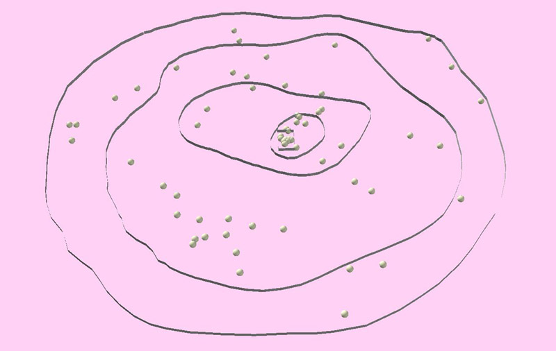
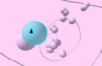
Atlas 3 In this Atlas, the research group developed an entirely new space of relationships. We used the raw connection values to develop a space which depends entirely on connection. Essentially, we disregarded absolute geography to create a world in which strength of connection solely determines spatial location. Peter Taylor calls this the new "Landscape of Globalization. [1] "
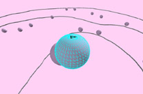
Earthwise: New York
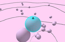
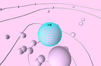
The Method of Creation: 1. We selected the top 123 cities in terms of their global network connectivity and measured the connectivity between each city and the other 122 cities. To keep the landscape uncluttered, the research group only displays the top 62 cities. 2. Spatial locations are developed from the connectivity data. [2] 3. The original visualization was created manually by Peter Taylor using the raw connectivity values, but the Atlas was developed using ESRI's software, ArcGIS v.8. 4. In order for the maps to be viewed by users, they were exported into .jpeg picture files. 6. For those users who desire to manipulate the visualizations in a GIS, the Base Layer Shapefiles are included (click here). If the user is interested in how the layers were constructed, then they can e-mail Jared Lang at jlangcal@hotmail.com. Understanding the Visualizations: 1. The visualizations show a new world geography based on connectivity. Cities closest to the center are the best connected to the other world cities, and cities on the edges are least connected. 2. The points shown in the visualization are the new relative city locations based solely on connectivity values. Considering that connectivity is the only thing that matters, this is a new map of the world. The higher a city's z-value and the closer it is to the center, the stronger its world city connection. 3. The Earthwise views show what the world looks like from the point of view of a specific city. We picked optimal views from a few different cities to give the best overall view of new city locations, relative to the rest of the world. If you have any questions about the Atlases, or if you want to obtain the details about how the visualizations were created, you can e-mail Jared Lang, Danny Dorling, or Peter Taylor. Endnotes [1] Taylor, Peter. World City Network: A Global Urban Analysis. London: Routledge, 2004. (p.123, Figure 5.16) [2] Ibid
Back to: [Atlases by Jared Lang ] |
|||||||||||||||